Catalogue GeoBretagne
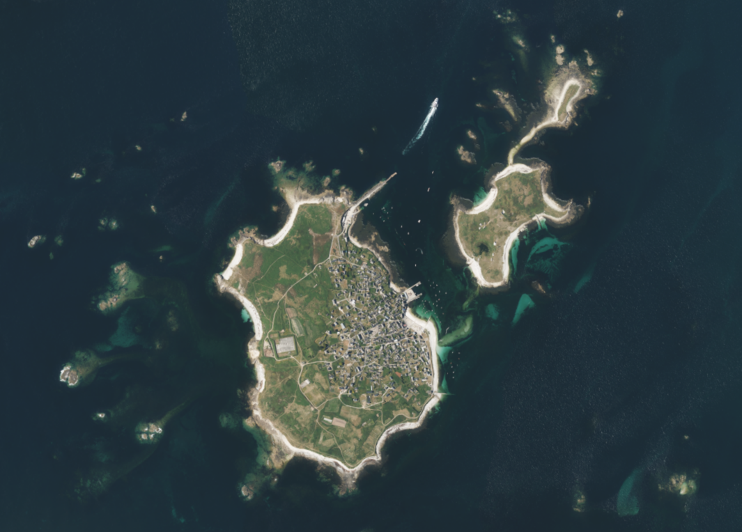
Orthophotographie du Finistère 2021
Orthophotographie réalisée sur le territoire du Finistère en 2021 par l'IGN.
Caractéristiques techniques :
Résolution : 20 cm
Précision : 40 cm
La prise de vue a été réalisée en été 2021.
Simple
- Alternate title
-
ortho-29-2021
- Date (Publication)
- 2022-10-13T00:00:00
- Edition
-
2021
- Citation identifier
- FR-233500016-ortho-29-2021
- Status
- Completed
- Point of contact
-
Organisation name Individual name Electronic mail address Role Institut national de l'information géographique et forestière (IGN-F)
Point of contact
- Maintenance and update frequency
- As needed
- Maintenance note
-
La mise à jour est prévue tous les 3 ans
- Place
-
-
Finistère
-
- Theme
-
-
ortho
-
données ouvertes
-
-
GEMET - INSPIRE themes, version 1.0
-
-
Ortho-imagerie
-
-
external
-
-
image satellite
-
-
external
-
-
photographie aérienne
-
-
GéoBretagne v 2.0
-
-
référentiels : imagerie
-
- Use limitation
-
Usage libre sous réserve des mentions obligatoires sur tout document de diffusion : "Source : IGN - 2021"
- Use limitation
-
Licence ouverte : https://www.etalab.gouv.fr/licence-ouverte-open-licence
- Access constraints
- Other restrictions
- Use constraints
- License
- Other constraints
-
Pas de restriction d’accès public
- Spatial representation type
- Grid
- Distance
- 0.2 m
- Language
-
fre
- Topic category
-
- Imagery base maps earth cover
- Description
-
Finistère
))
- Reference system identifier
- RGF93 / Lambert-93 / EPSG:2154
Distributor
- Distributor contact
-
Organisation name Individual name Electronic mail address Role Mégalis Bretagne
Distributor
- Distributor format
-
Name Version GeoTIFF
1.0
- OnLine resource
-
Protocol Linkage Name OGC:WMS
https://geobretagne.fr/geoserver/photo/wms ortho-29-2021
OGC:WCS
https://geobretagne.fr/geoserver/photo/wcs?SERVICE=WCS&REQUEST=GetCapabilities ortho-29-2021
WWW:DOWNLOAD-1.0-http--download
https://geoservices.ign.fr/documentation/diffusion/telechargement-donnees-libres.html#orthoirc--50cm-et-hr-sous-licence-ouverte Téléchargement IGN (format JP2000)
- Hierarchy level
- Dataset
Conformance result
- Date (Publication)
- 2013-12-10
- Explanation
-
Non Evalué
- Pass
- No
- Statement
-
La prise de vue a été réalisée en été 2021.
Metadata
- File identifier
- 8ca51154-4d03-4d02-be0e-e725b5bfa584 XML
- Metadata language
-
fre
- Character set
- UTF8
- Hierarchy level
- Dataset
- Date stamp
- 2022-10-14T11:39:41
- Metadata standard name
-
ISO 19115
- Metadata standard version
-
1.0
- Metadata author
-
Organisation name Individual name Electronic mail address Role Région Bretagne
Service Connaissance, Observation, Planification et Prospective
Point of contact
Overviews
Spatial extent
Provided by