Catalogue GeoBretagne
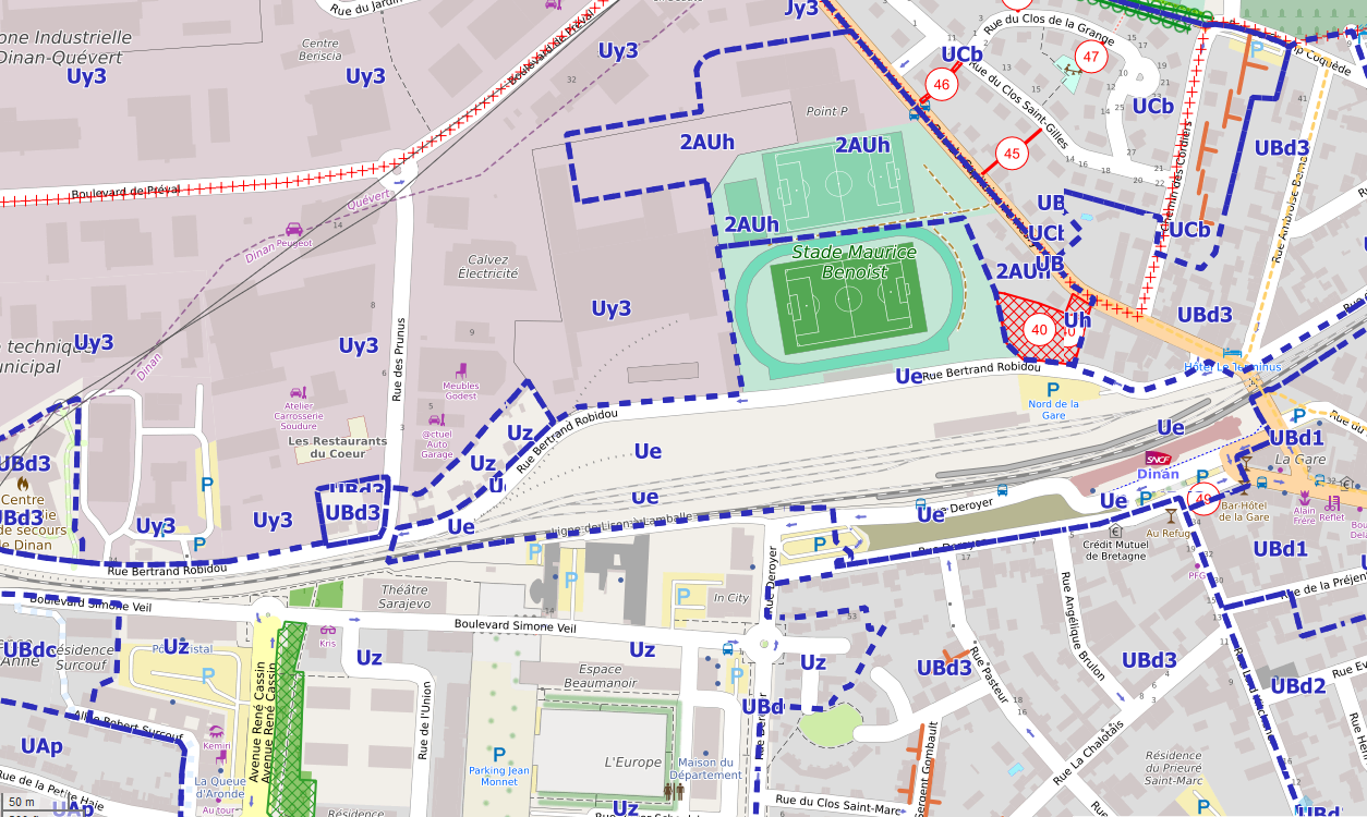
Zonage du PLUi de Dinan Agglomération
Zonage du PLU intercommunal Dinan Agglomération
Simple
- Alternate title
-
PLUI - Dinan Agglomération
- Date (Revision)
- 2020-01-20
- Citation identifier
- fr-200068989-dinan-agglomeration-zonage-urbanisme
- Status
- Completed
- Point of contact
-
Organisation name Individual name Electronic mail address Role Dinan Agglomération
Service SIG
j.allain@dinan-agglomeration.fr
Point of contact
- Maintenance and update frequency
- As needed
- Maintenance note
-
La mise à jour se fait au fur et à mesure des modifications des documents
- Keywords
-
-
urbanisme
-
dinan agglomeration
-
plu
-
données ouvertes
-
-
GéoBretagne v 2.0
-
-
urbanisme et foncier : planification et documents d'urbanisme
-
-
INSPIRE themes
-
-
Zones de gestion, de restriction ou de réglementation et unités de déclaration
-
-
GEMET
-
-
document d'urbanisme
-
urbanisme
-
- Use limitation
-
Usage libre sous réserve des mentions obligatoires sur tout document de diffusion : "Source : Dinan agglomération"
- Use limitation
-
Licence ouverte v2.0 : https://www.etalab.gouv.fr/wp-content/uploads/2017/04/ETALAB-Licence-Ouverte-v2.0.pdf
- Access constraints
- Other restrictions
- Use constraints
- License
- Other constraints
-
Pas de restriction d’accès public
- Spatial representation type
- Vector
- Denominator
- 5000
- Language
-
fre
- Topic category
-
- Planning cadastre
))
- Reference system identifier
- RGF93 / Lambert-93 (EPSG:2154)
- Topology level
- Abstract
- Geometric object type
- Surface
Distributor
- Distributor contact
-
Organisation name Individual name Electronic mail address Role Dinan Agglomération
Service SIG
j.allain@dinan-agglomeration.fr
Distributor
- Distributor format
-
Name Version ESRI Shapefile
1.0
- OnLine resource
-
Protocol Linkage Name OGC:WMS
https://sig.dinan-agglomeration.fr/wms/public/wmsdinanagglomeration_v2?service=wms&request=GetCapabilities zonage_plui
WWW:DOWNLOAD-1.0-http--download
https://sig.dinan-agglomeration.fr/cartes/download/download.php?param=zone_plu
- OnLine resource
-
Protocol Linkage Name OGC:WFS
https://sig.dinan-agglomeration.fr/wms/public/wfsdinanagglomeration? zonage_plui
- Hierarchy level
- Dataset
Conformance result
- Date (Publication)
- 2013-12-10
- Explanation
-
Non Evalué
- Pass
- No
- Statement
-
Numérisation des plans des documents d'urbanisme
Metadata
- File identifier
- f3193e2a-1d6a-4d19-a3af-4a08935f8946 XML
- Metadata language
-
fre
- Character set
- UTF8
- Hierarchy level
- Dataset
- Date stamp
- 2024-11-05T13:57:37.433388Z
- Metadata standard name
-
ISO 19115
- Metadata author
-
Organisation name Individual name Electronic mail address Role Dinan Agglomération
Jonathan ALLAIN
j.allain@dinan-agglomeration.fr
Point of contact
Overviews
Spatial extent
Provided by